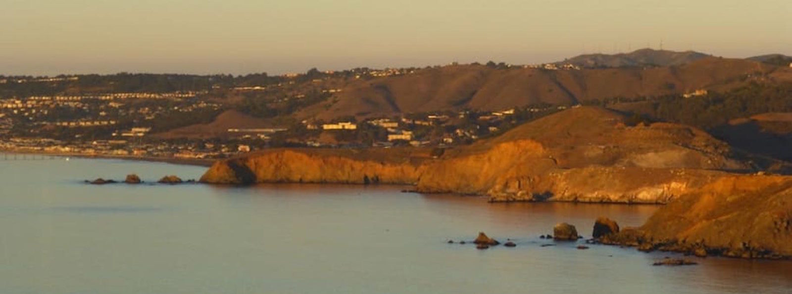

Pacifica, California Aerial View
The City of Pacifica is spread along a six-mile (9.7-kilometre) stretch of coastal beaches and hills in north central California. The city comprises several small valleys spread between Sweeney Ridge in the east, Montara Mountain to the south, and the Pacific Ocean’s rocky bluffs to the west.
Surfing at Rockaway Beach, Pacifica
Pacifica is well known regionally as a popular surfing destination. Surfers and families often visit Linda Mar Beach. Rockaway Beach is a scenic location and offers recreation, shopping and dining. 2005 marked the opening of the top ranked Pacifica Skateboard Park. Pacifica is also a popular mountain biking destination, with many trails crossing the hillsides that surround the city, including Pedro Mountain Road, Sweeney Ridge, and areas of the Golden Gate National Recreation Area. Fishermen frequent the local beaches and the Pacifica Pier, often catching Striped Bass and Salmon. Pacifica is also a popular place to hike, with many trails that wind along the beaches and bluffs, including Mori Point, San Pedro Valley County Park, the Sanchez Adobe, Milagra Ridge, and the privately owned Pacifica quarry. For live local theater and performing arts, Pacifica Spindrift Players is a local and popular favorite, in addition to Pacifica Performances which regularly provides both musical presentations and performing arts as well. Pacifica is also home to the Sharp Park Golf Course, which was designed in 1931 by architect Alister MacKenzie. The world class bromeliad nursery, Shelldance Orchid Gardens is located just off Highway 1 in Pacifica, adjacent to the Sweeney Ridge hiking trailhead.
Topography
Pacifica straddles San Pedro Creek which flows from the western slope of Sweeney Ridge. The far eastern portion of Pacifica includes San Andreas Creek which flows down the eastern slope of Sweeney Ridge. The Portola expedition followed these two creeks in the discovery of San Francisco Bay. Calera Creek runs through Pacifica Quarry and is protected as ESHA Environmentally Sensitive Habitat.
